The Momposino Depression is a floodplain of beaches, islets, and higher lands, located below sea-level. It is periodically bathed by the rising waters of streams and marshes. Map designed by Sandy Wang
The Momposino Depression is a floodplain of beaches, islets, and higher lands, located below sea-level. It is periodically bathed by the rising waters of streams and marshes. Map designed by Sandy Wang
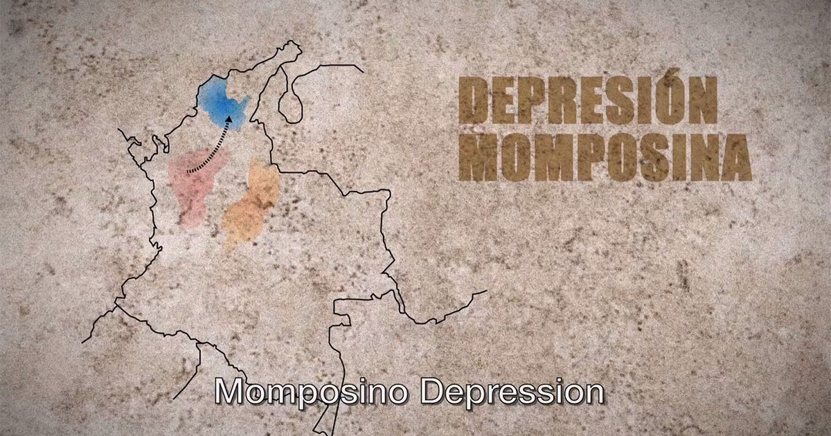
Traveling North on the Magdalena River, we come to the Momposino Depression in the Caribbean region, located at the mouths of the Cauca, San Jorge, César, and lower Magdalena rivers. This below sea-level floodplain of beaches, islets, and higher lands is periodically bathed by the rising waters of streams and marshes. The rich rainforest teems with a diversity of birds, fish, amphibians, and reptiles, such as alligators, all of whom also populate the legends, myths, and carnival dances of the region.


In this vast land, the culture of indigenous groups and enslaved Africans coexisted with the predominantly Catholic traditions of Spanish and Creole settlers. Cultural expressions formed in this crucible continue today in singing and drumming traditions for feasts and celebrations, in the varied foodways and manual occupations, in the rich arts and crafts, and in the Caribbean and Spanish architecture that dots the banks of the Magdalena River.